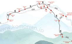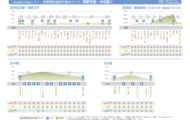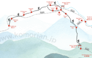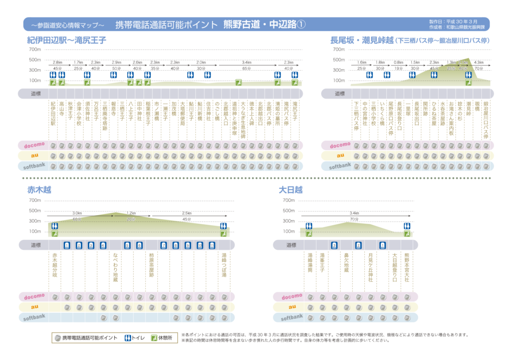
While you walk Kumano Kodo Nakahechi route, most of the route is coverd by 2 cell services of Japan, Docomo and AU. But partly there is NO signal as well as NO break away point. Talking about the route between Takijiri-oji and Hongu-Taisha, the “no signal zone” starts around the number marker 43, the starting point of detour route, and remains till around 55.
So if you have any difficulty or feel any ache in your body, stopping walking before the zone starts is recommended, otherwise, you might be stuck in the mountain with no signal.
Here are 3 maps regarding cell phone signal on the route published by the Wakayama Prefecture World Heritage Center. They are written in Japanese, so please utilise the number markers as hints.
nakahechi-1-ol nakahechi-2-ol 3Kumano Kodo is well maintenanced hiking road and there is little possibility of accident. However, there is no “too much preparation” before starting hiking. Be prepared enough, and have a safe and joyful trekking!

